Jan 10, 2021: Sunday River Whitecap

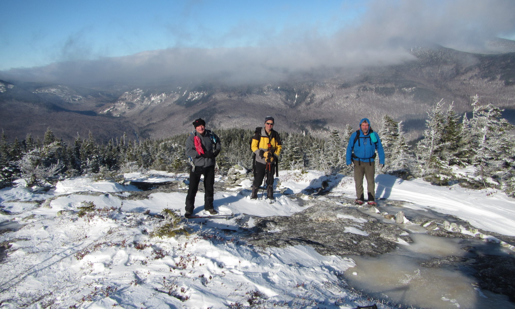
Participants:  Andrew Carey, Brent Elwell, Paul Peters, Rick Farnsworth, John Stokinger, and TC Ron Chase

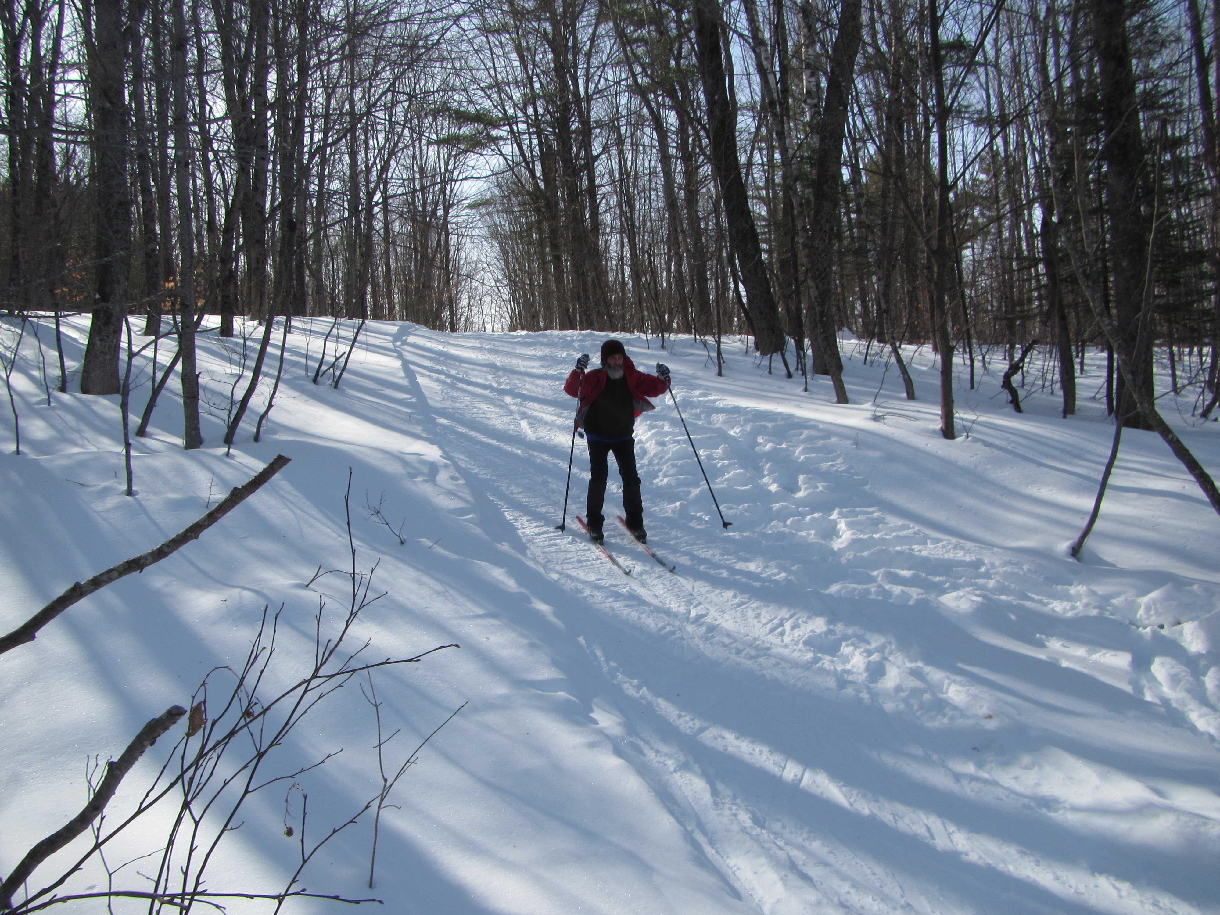
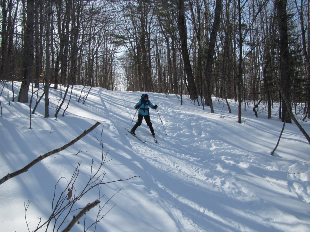
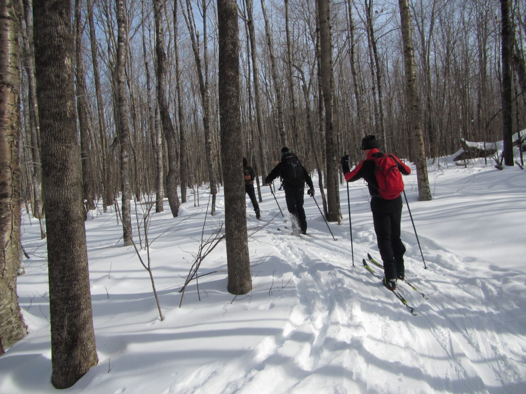
Sunday River Whitecap is one of the most unique mountain hikes in Maine.  Rugged terrain, phenomenal views, and a barren alpine summit provide a remarkable winter mountaineering experience.  Located on the northeastern end of the Mahoosuc Range in western Maine, the 3,337 foot peak entails about 2,100 feet of elevation gain.  Our group of six enjoyed a sunny breezy day with seasonal temperatures during the six mile trek.  Since there was only about ten inches of snow, snowshoes were left behind.  The views on the blustery summit were truly exceptional.  For the rest of the story, visit my blog at Seniors Not Acting Their Age (bdnblogs.com) or see columns with the Bangor Daily News, Times Record, Twin City Times or Portland Press Herald (online).

Sept 19, 2020: Dead River 3500cfs

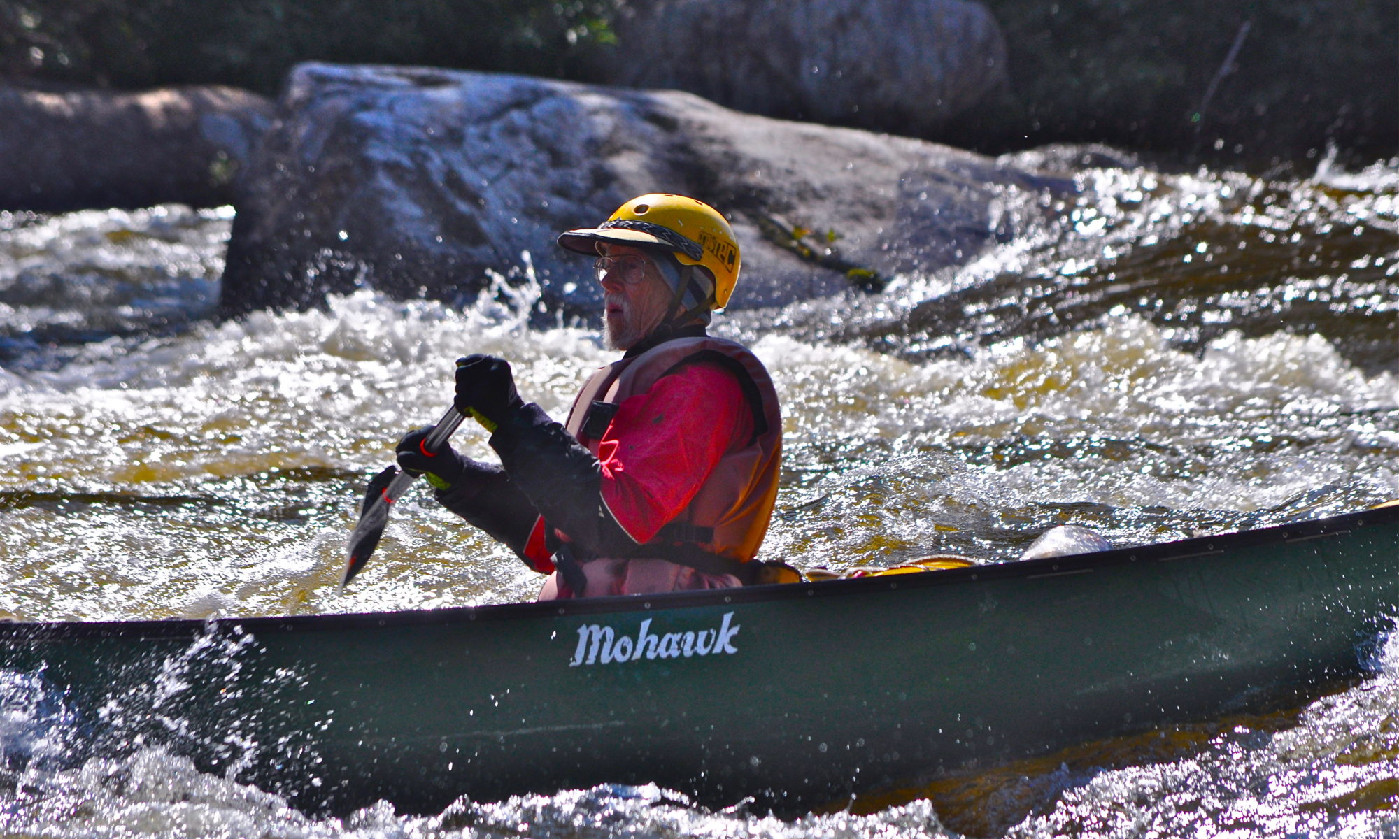
We had a large group of 22 for this “last hoorah” trip on the Dead. Several new members joined us and we divided into two groups. We had a “fast” group and a “slow” group on this bright fall day. We were all dressed for the weather and enjoyed the foliage. Many thanks to those who helped with or ran shuttle at the end of the day.

The fast group consisted of John Brower – OC, Clyde Mitchell and Catie Meehan – tandem ducky, Kenny DeCoster – OC, Frank Yulling and Paul Peters – shredder, Ryan and Mason Galway – tandem OC, Ron Chase – K1. The fast group headed down the river, but lost one participant at the Gravel Pit due to hip pain. The others continued down stream although we heard there was a swim or two.

The slow group consisted of TC’s Suzanne and Gary Cole – K1, Nick Beaudoin – K1, Emma Erler – K1, Hal Earle – K1, Elaine Madrid – K1, Ken Gordon – K1, Jean Miller – K1, Katie Brady – K1, Randy Berube -K1, Charlie Berliant – K1, Patti and Tom Rutka – shredder. The two main themes of the day for this group were surfing and guiding those unfamiliar with the river through the major rapids. We had fun doing both; lots of great surfs and successful runs of rapids. 

July 26, 2020: Kennebec (Forks to Caratunk)

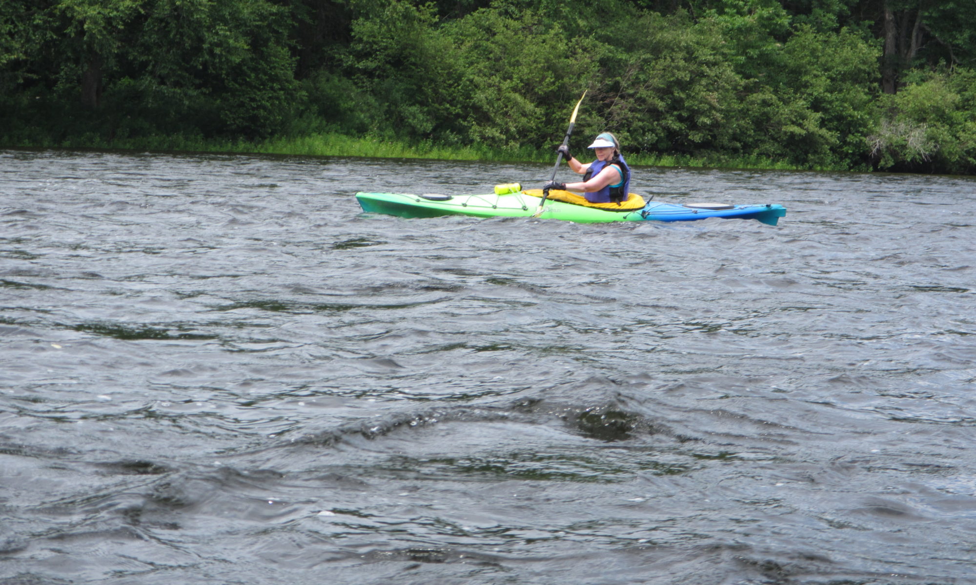
For the past couple of years, Nancy and I have enjoyed paddling the Kennebec from the Forks to Caratunk during the Summer Picnic Weekend.  About a ten mile scenic Class I/II trip; we decided not to allow the pandemic cancellations to deter us this year.  Early on, the Eichorn family announced they would participate in their raft.  When we arrived at Webb’s Campground, Dave and Inge Wallace had decided to join them.  Ryan Galway had dropped off the Eichorn’s truck at the takeout on his way home.  I biked our shuttle.  This is not a chore as there is a good shoulder on Route 201 and the ride along the river is very enjoyable.  When I returned, the bubble from the Kennebec release had arrived and by the time everyone was ready, we had acquired another 1800 CFS from the Dead.  If you launch, park, or takeout at Webb’s Campground, don’t forget to pay Kim Webb. Initially, the high water propelled our group rapidly downriver and the Class II rapids had some surprisingly beefy waves.  Several rafts, some tubers, and another group of kayakers were met during the excursion.  A hiker was waiting on the west side of the river for the water to drop when we passed the Appalachian Trail crossing.  Hope he needed a rest as I think he had another two or three hours to linger.  The seemingly obligatory headwind picked up at about the midway point and the intrepid rafters got an unexpected workout.  Paddling against the steady breeze was much easier for our sleek flatwater kayaks.  Despite the nuisance winds, everyone had a great day on a picturesque section of the river.

Participants:  Evan, Shannon, Finn, Cohen, & Sawyer Eichorn, Dave & Inge Wallace and TCs Nancy & Ron Chase

July 21, 2020: Damariscove Island

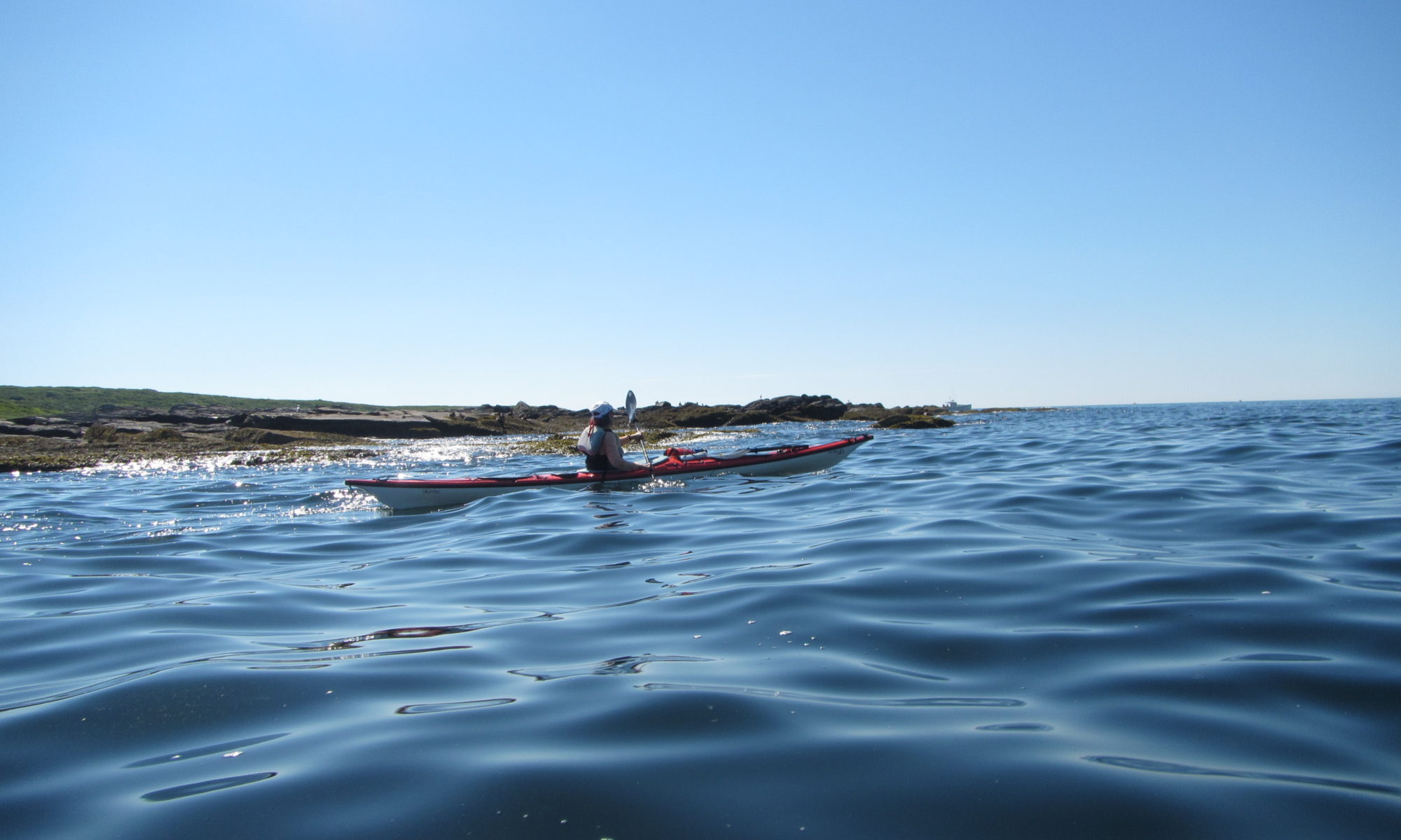
A paddle to Damariscove Island is one of my favorite sea kayak trips on the Maine coast.  From Ocean Point in East Boothbay, the distance to the picturesque sheltered harbor at the far southern end of the almost barren atoll is about five miles.  Damariscove has a rich history which is particularly appealing for me.  Entering and exiting the distant harbor can often be precarious so I’m careful to select a day with light winds and gentle seas.   Identifying a Goldilock’s forecast; I posted a club trip with very short notice.  Fortunately for me, Cath Kimball signed on.  When we met at Ocean Point, it was sunny, warm, and winds were light.  After paddling across Fisherman Island Passage, we proceeded southerly along the west side of Ram Island Lighthouse and elongated Fisherman Island.  Traversing a channel to the northern terminus of Damariscove, the waters were remarkably calm.  Approaching the southwestern end, I expected to see waves breaking over the treacherous shoals that populate the area.  Nothing but benign two foot swells on this exceptional day.  A lobster boat was loading traps when we entered the otherwise quiet harbor.  As usual avoiding poison ivy was an obstacle on a hiking trail that leads to the rockbound scenic eastern shore where we enjoyed a leisurely lunch.  The conditions were exceptionally placid departing around the southeastern tip of the island and an incoming tide helped propel us rapidly north along the eastern shore.  Views of Outer Heron and the White Islands farther east were outstanding while kayaking along Fisherman Island to the beach on Ocean Point.  Arriving at high tide, the carry to our vehicles was a short one.  Neither of us could recall a more tranquil Damariscove trip.

Participants:  Cath Kimball and TC

July 18, 2020: Sea Kayaking Mussel Ridge

It was foggy and very humid when we arrived at the primitive Spruce Head Boat Landing at 9 AM.  The forecast had called for clearing by then.  After unloading boats and changing, the fog remained but appeared to be diminishing.  Laurie had her protractor and map out while I was estimating the probable bearing on my marine chart.  Our concern was a crossing from the tip of Spruce Head Island to Graffam Island, a mile and a half in distance.  We both reached a similar conclusion, a magnetic bearing between 125 and 130 degrees should get us there and 305 to 310 would be required for the return.  Should we go was the overriding question.  Maybe was the answer.  The consensus was to paddle to the end of Spruce Head Island and decide.  Experiencing patchy fog along the western shore, visibility turned to soup entering the channel beyond the island.  Bobbing in three foot seas, the unanimous choice was to continue.  With emergency lights flashing and fog horns handy, our apprehensions were twofold:  Vessels motoring through the often busy passageway and missing Graffam Island.  Bouncing in the mildly bumpy waves while a barely discernible lobster boat was hauling traps ahead of us, our bearing varied between 120 and 140 degrees.  The 30 minute crossing seemed longer.  Navigating through a congestion of lobster buoys, a vague profile of trees above land gradually appeared.  Moments later, we were relaxing along the rugged shore of Graffam Island.  Opting to turn inside the archipelago to avoid the strong wave action, the fog began to diminish.  Halting for rest and relief on sandy Bar Island, nearby substantial Hewitt and Pleasant Islands were hidden from view.  Our ultimate objective, more distant and exposed Two Bush Island, was an unrealistic consideration.  Island hopping northeast in the fog was our alternative choice.  By the time we stopped for lunch at a tiny beach on a nondescript ledge between High and Andrews Islands, the fog had cleared.  Contrary to the forecast, strong winds from the west were encountered during the return to Graffam.  An exciting crossing to Spruce Head Island seemed probable.   Again stopping at Bar Island, Two Bush was barely visible but still partially cloaked in fog.  No matter, if we were to avoid trudging through a long stretch of mud at the Spruce Head Landing, we were out of time.  Approaching the western terminus of Graffam, Tom observed that the winds seemed to be diminishing.  I’d had the same thought but was afraid to voice it.  The forecast got this part right.  The winds were supposed to diminish mid-afternoon and change directions.  A gentle tailwind was enjoyed during the easy crossing.  The goal was to reach the landing by 3:00 P.M to avoid serious mud problems.   Our arrival time was 2:55.  While wallowing in some mud was necessary, it was only at a nuisance level.  Ours was truly an exceptional day in one of Maine’s premiere sea kayaking destinations.  For the rest of the story visit the following link:  http://www.rchase.bangordailynews.com/

Trip Participants:  Laurie Wunder, Tom Meredith, President Eggman DeCoster, and TC