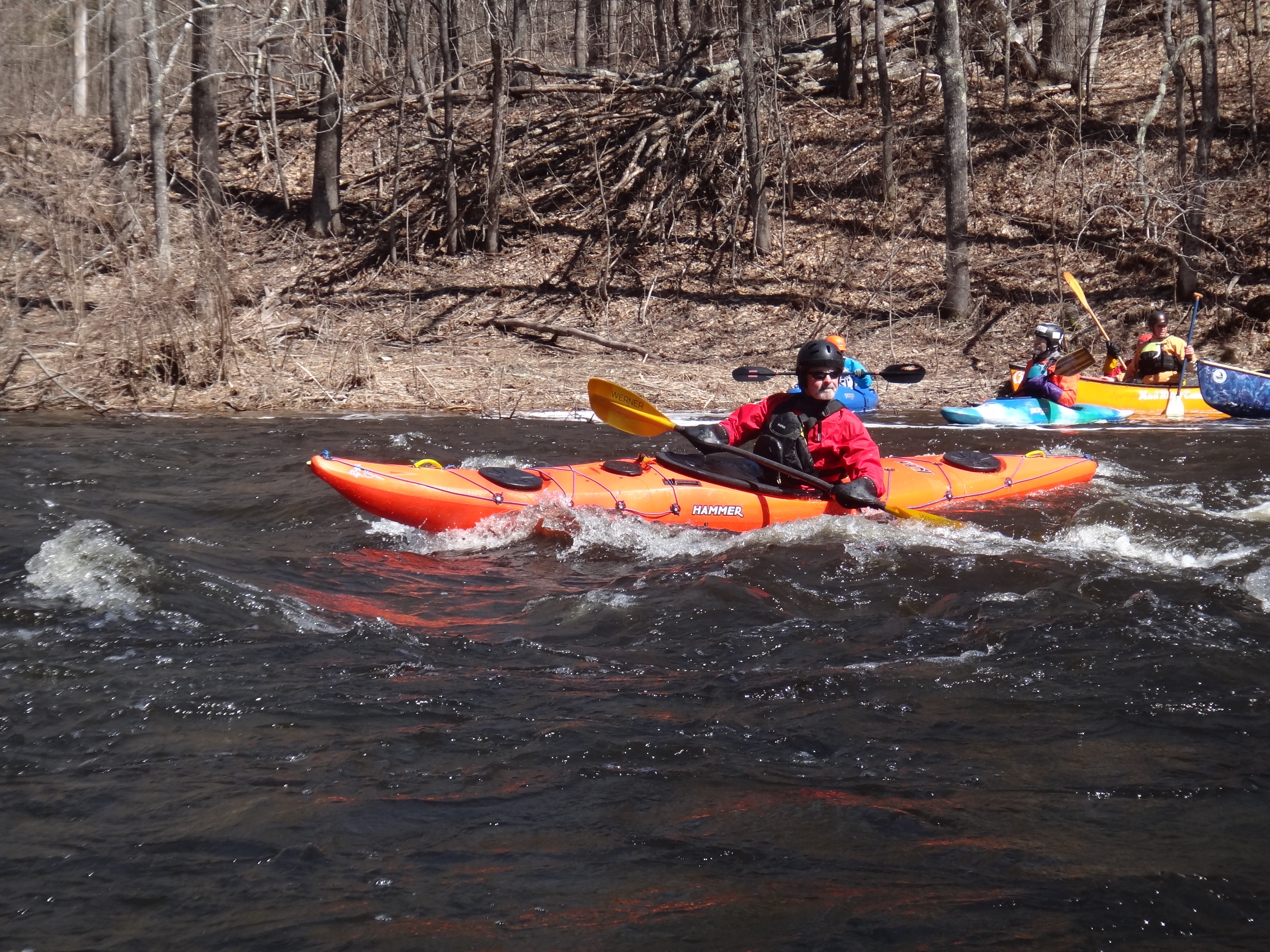
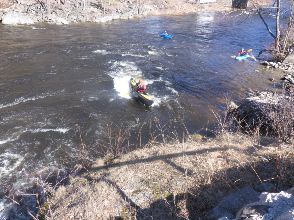
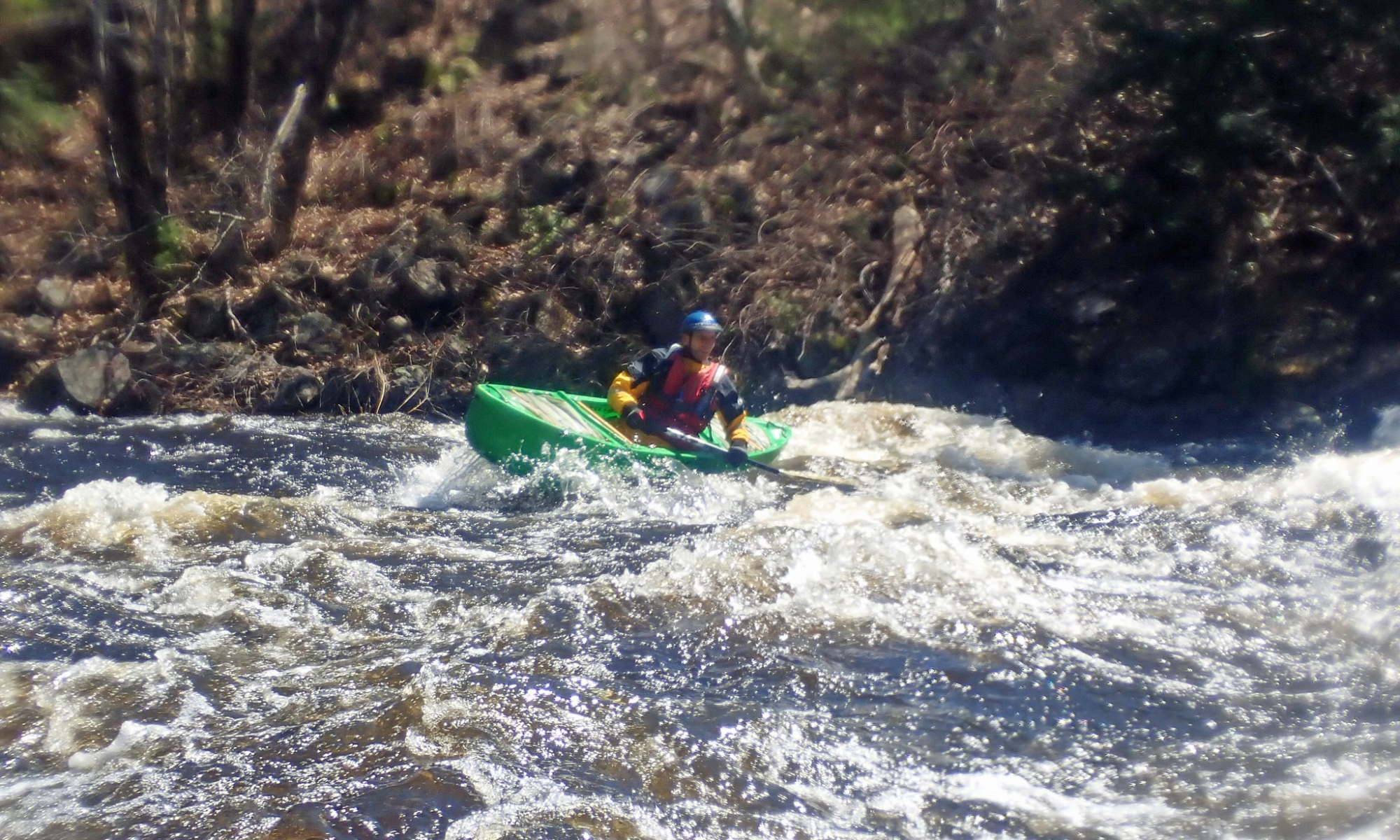
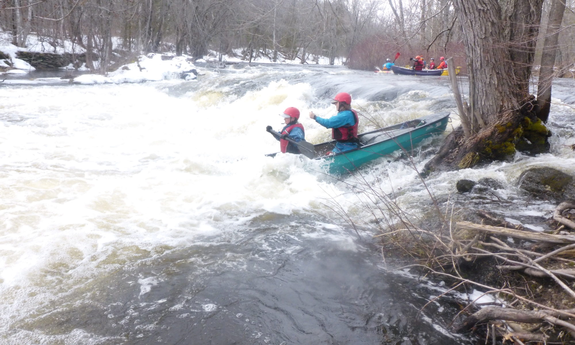
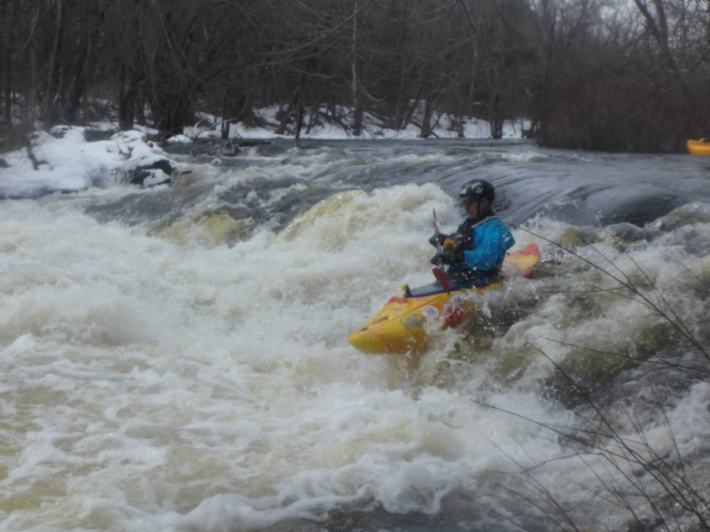
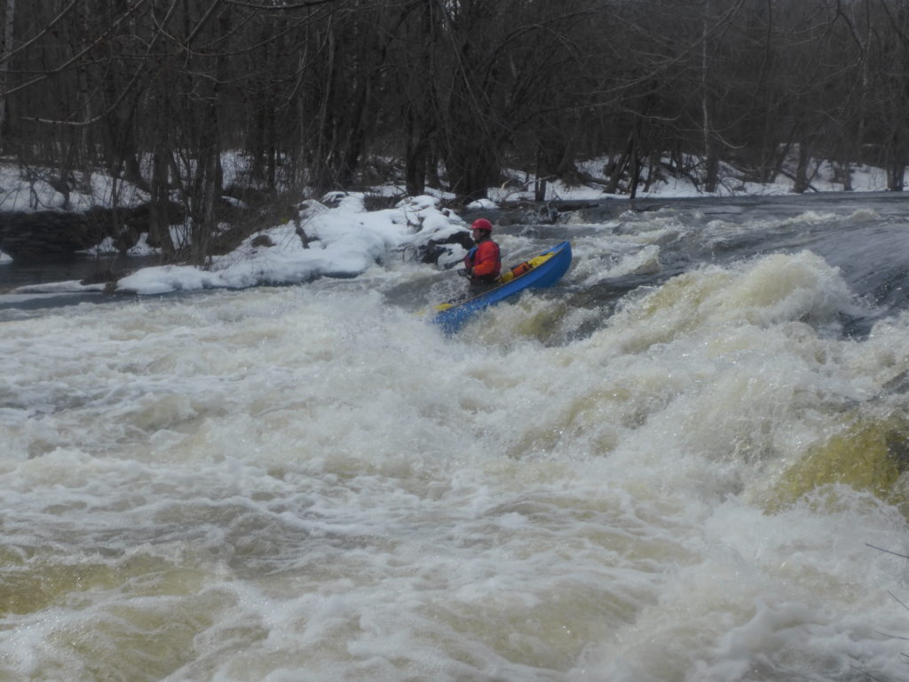
TC’s Paul Leclerc K-1 & Pat Cavanagh K-1
Joint trip with RICKA (RI Canoe and Kayak Assoc. and PPCS
Participants: PPCS Kenny DeCoster OC1, Ryan Galway OC1, Brendan Regan, OC1
Erik Eckilson OC1, Ben Gorman K1
It’s Millers Time!
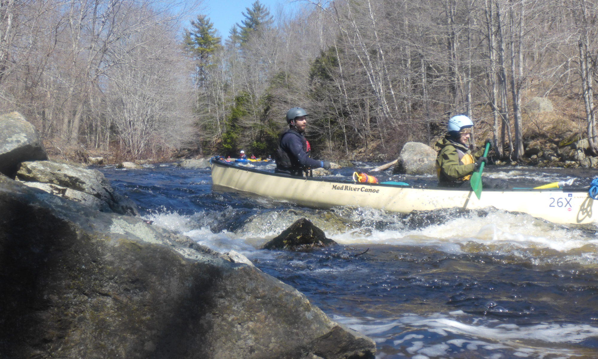
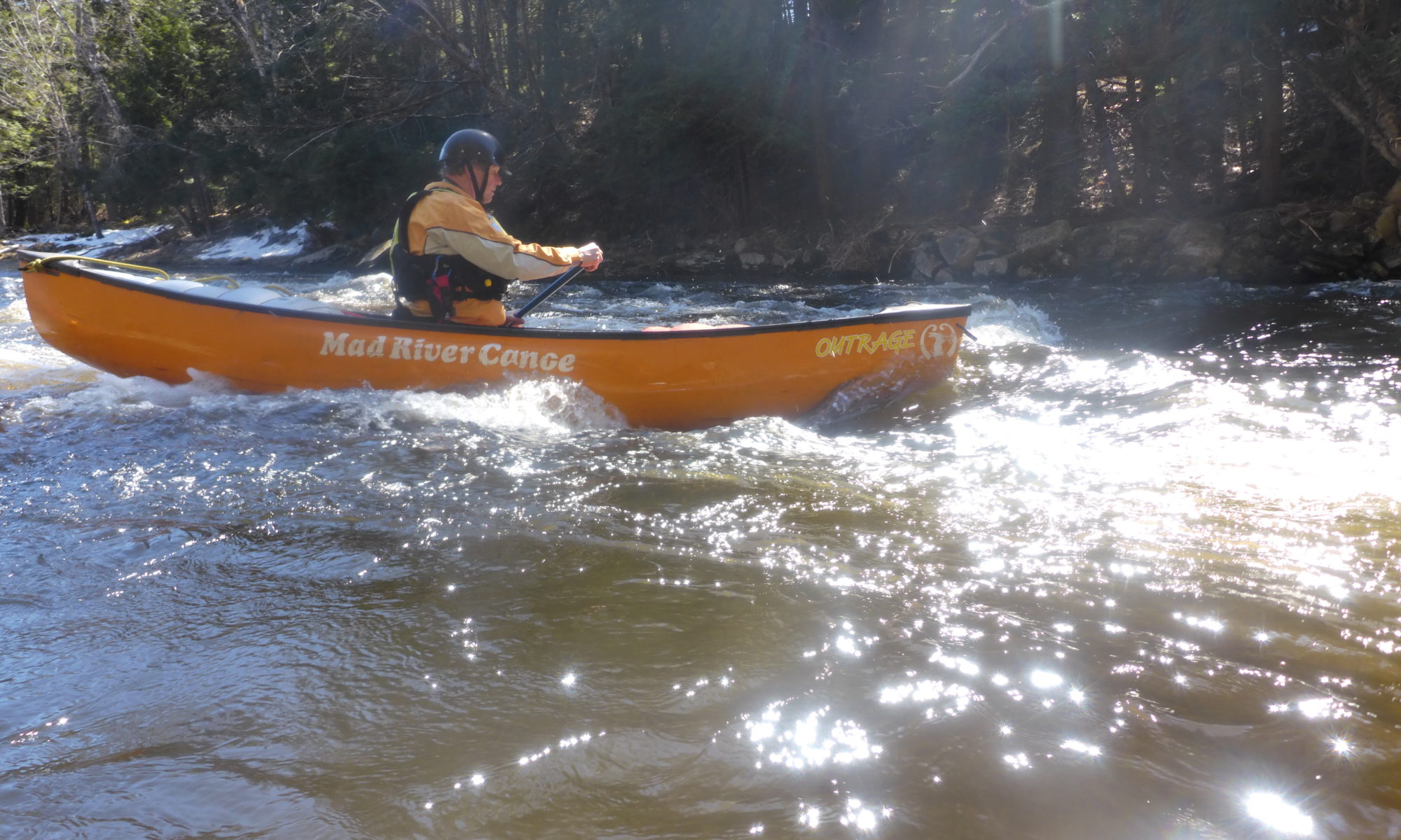
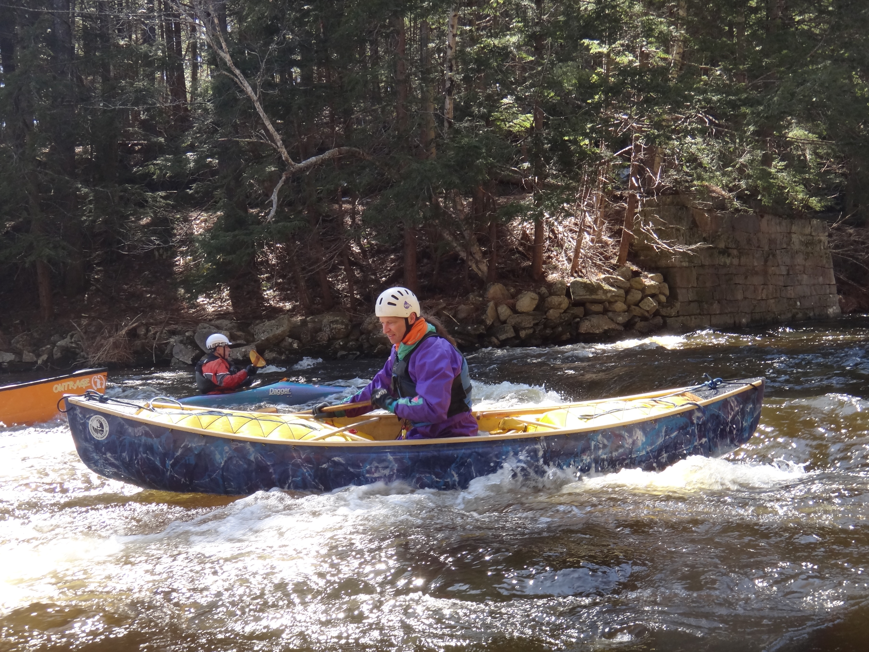
With poor snowfall over the winter, leaving no snowmelt and virtually no early Spring rains, the whitewater rivers of southern New England were low. Fortunately, the Millers River in north central MA has an annual April release. Being a member of RICKA (RI Canoe and Kayak Assoc.) and a proud Chowderhead, I thought it would be fun to make it a joint venture. Kenny, Ryan and new Chowderhead, Brendan joined me, Pat and 2 other RICKA WW boaters – Erik, and Ben.
Whitewater boating is done on two sections of the Millers – the Upper Millers, a 7 mile stretch through mostly remote forested land beginning in South Royalston and ending in Athol and the Lower Millers, a 5 mile segment beginning in Erving and ending in Millers Falls. The Upper II/III section is more technical. The Lower is abundant II/III wave trains and a powerful class IV rapid (the Funnel) in the middle. Today, we would be doing both.
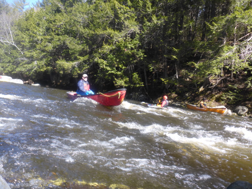
With a sunny, but chilly (40 degrees) start we put in at the Upper and headed out. All was going well, until we came to the last class III rapid – a fairly strong rapid requiring quick technical maneuvering. Erik decided to challenge himself by entering the section dodging what most boaters would rather avoid and quickly found himself going over a large pour-over. Immediately he was separated from his boat and in the water. Knowing what lay ahead, he quickly and safely swam to shore. Fortunately, Pat was behind and able to push his canoe into an eddy. Ben, being fairly new to whitewater, found himself too far right and unable to escape another large pour-over and quickly capsized. Unable to successfully roll his kayak, he ejected and hit his forehead above his right eye on a shallow rock.
Leading the group, I spotted an old large limbless tree just under the current, but it was too late to safely paddle around, so I paddled hard to get over it. Not having enough speed from the short distance, my boat came to rest on top of it. I turned to warn the group and spotted Ben in the water floating helplessly towards the tree. I blew my whistle. Either not hearing me above the turbulence or being disoriented from his injury, Ben headed for the tree and got sucked under. In those heart stopping seconds, he was pushed through underneath and came up gasping for air.
At this point the current was calm enough for him to swim to shore. His impact resulted in a cut and a golf ball size swelling. Had he been caught under the tree it might have been a very different outcome. Luckily it was near the end of the river, and he finished the run. We provided an ice pack for the swelling and a bandage. As it turned out, Brendan is a nurse and said he’d be ok.
Four of us continued to the Lower Millers: me, Pat, Kenny, and Ryan. We scouted the Funnel – it looked nothing like the video. They never do. After deciding our lines, Pat went first and went through clean. I entered next and went river right – too right and got flipped off the edge of a powerful hole. After two unsuccessful rolls in the turbulence, I waited for the rapid to lose its fury, then rolled up further downstream. Kenny was amazed I could hold my breath for so long. Being late in the day, and witnessing my rolling demonstration, Ryan and Kenny opted to skirt the rapid and stay dry. Off the river, temps had risen to the upper 50’s. You can’t beat twelve miles of whitewater fun with a few good friends. Be safe out there. SYOTR.


